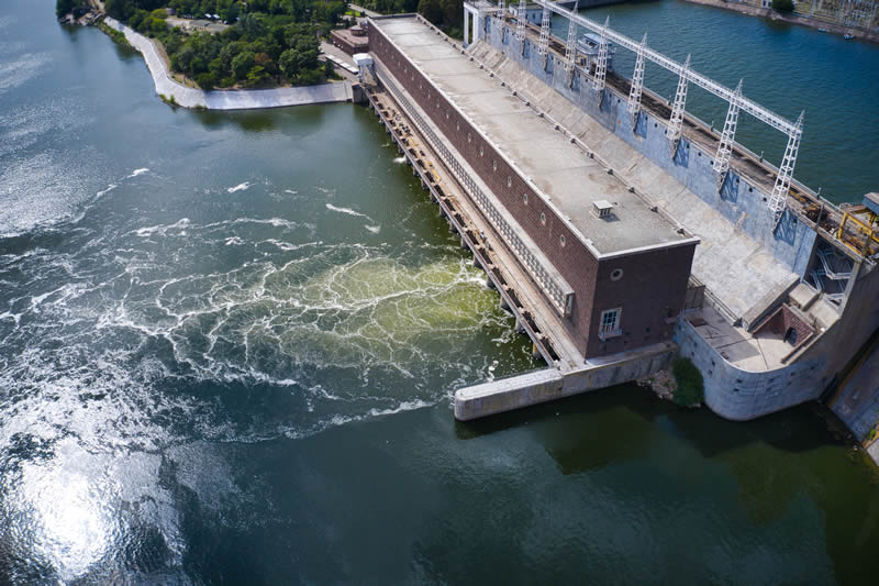
Image obtention through RPAs (Remotely Piloted Aircrafts).
High-resolution orthomosaic maps
Construction of digital terrain models through point cloud data
Generation of contour lines
Calculation of superficial volumes
Environmental monitoring
Aerial images for construction and project management
Registration of rural and urban properties
Aerial photography and film
Access below some of the work carried out by the Oceanauta team:
Survey of 5500 hectares of rural and urban area.
Generation of isolines and terrain model of environmental liabilities.
Marking Federal Marine Lands and added areas.
Study of rainwater runoff on a slope.


