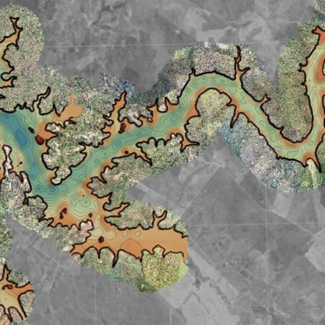
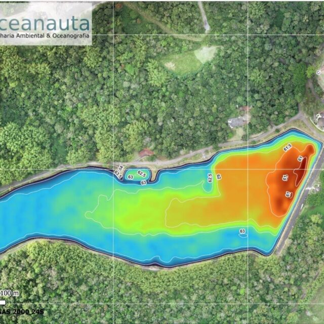
Topobathymetric mapping carried out in a reservoir located in the municipality of Coronel João Sá– BA. This study was developed with the objective of generating a digital terrain model to calculate the volumes of water storage of the reservoir according to the level of the water.
///
Oceanauta
Topobathymetric mapping of a reservoir