Topographic mapping to build digital terrain models for four areas in Sergipe, totaling 11 thousand hectares.
///
Oceanauta
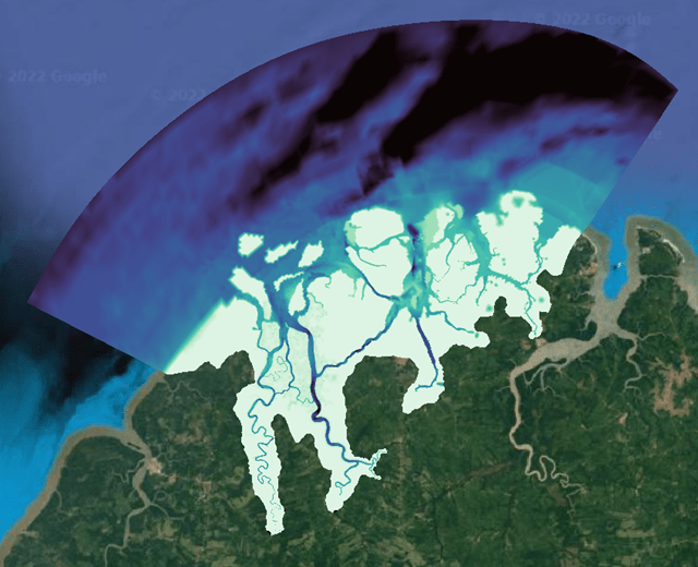
Planimetric aerial mapping of an area of 11 thousand hectares downstream from four dams in Sergipe
Topographic mapping to build digital terrain models for four areas in Sergipe, totaling 11 thousand hectares.
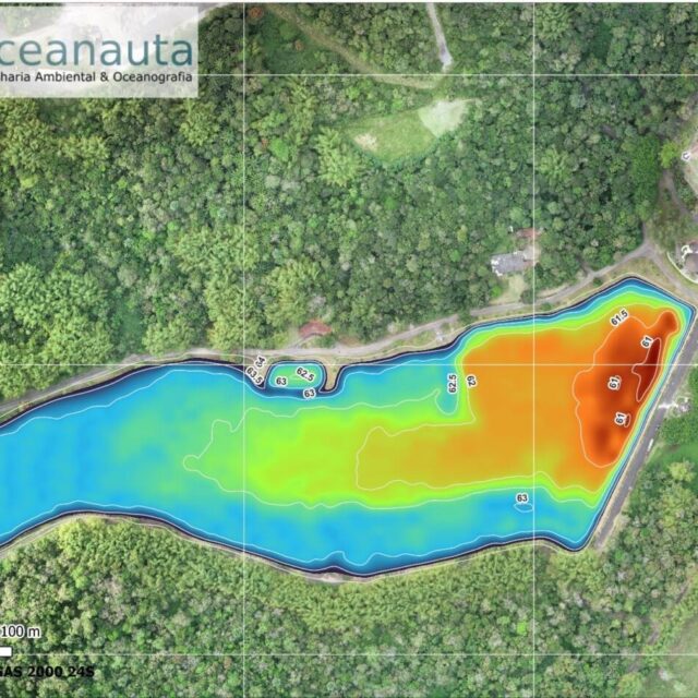
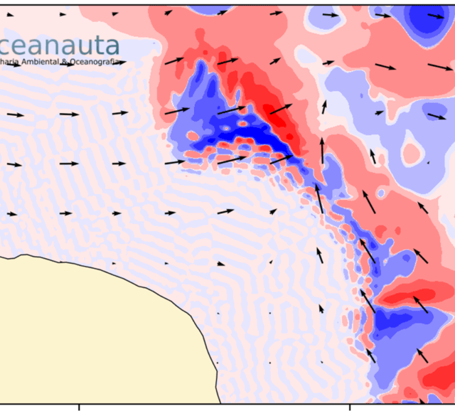
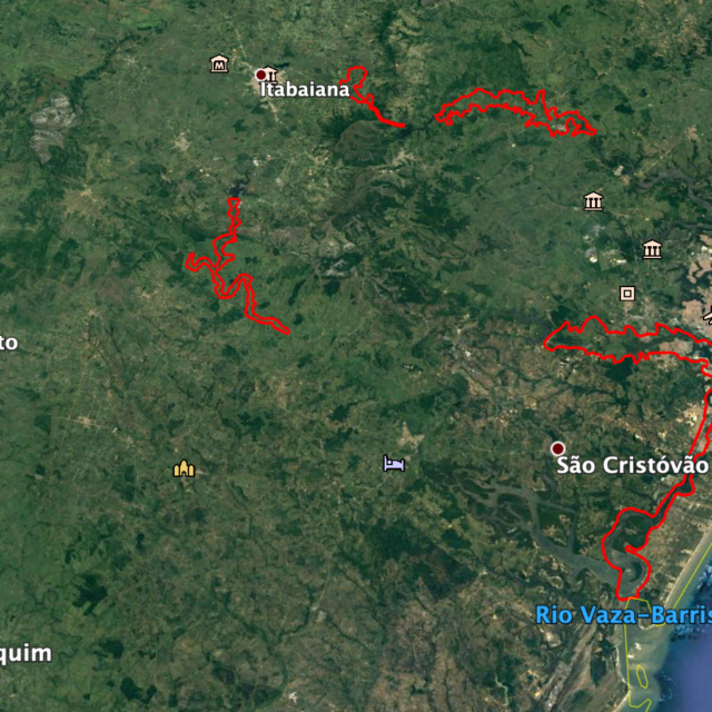
Alguns dos trabalhos desenvolvidos pela Oceanauta