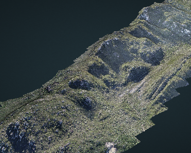
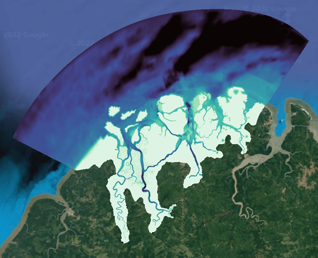
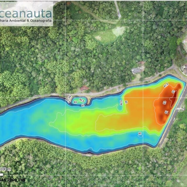
Planimetric survey of an area of 2,500 hectares in Macaúbas-BA, with the objective of generating digital surface and terrain models, isolines, and georeferenced orthophotography to support the management of the mining area.
///
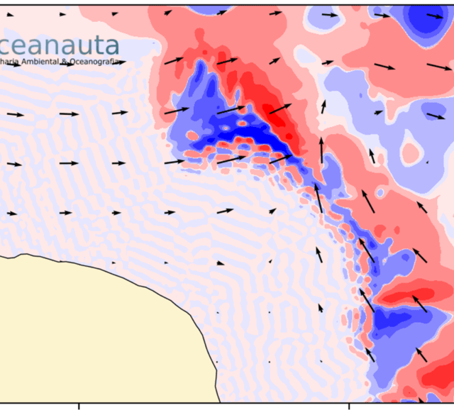
Oceanauta
Planimetric aerial mapping of an area of 2,500 hectares in Macaúbas – BA