- Tidal measurements for leveling hydrographic data;
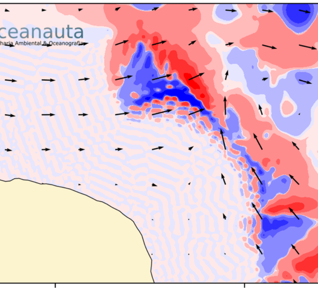
- Current analysis by means of an ADCP-type acoustic current profiler, covering the surroundings of the outfall axis;
- Probing with Jet-Probe;
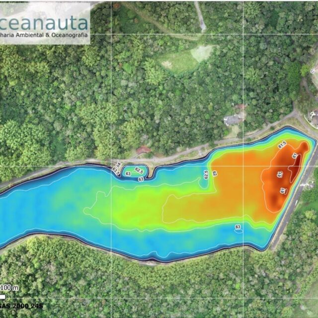
- Aerial drone survey to generate an orthophoto of the study area (continental region);
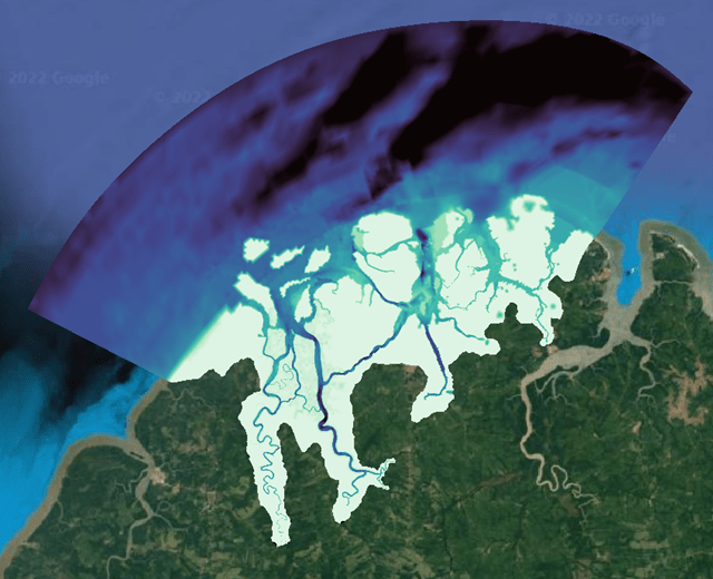
- Multibeam bathymetry and side-scan sonar imaging of the seabed;
- Underwater footage along the outfall axis;
- Project of nautical signaling;
///
Oceanauta
Hydrographic survey, underwater filming and signaling project of a submarine outfall.


