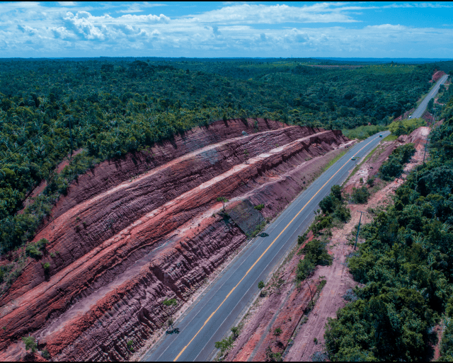
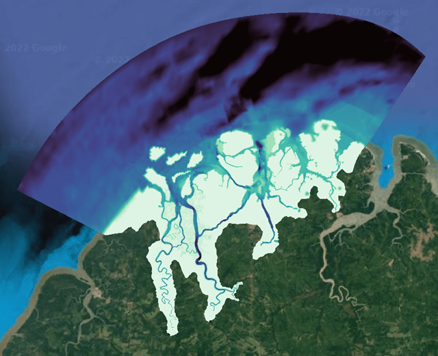
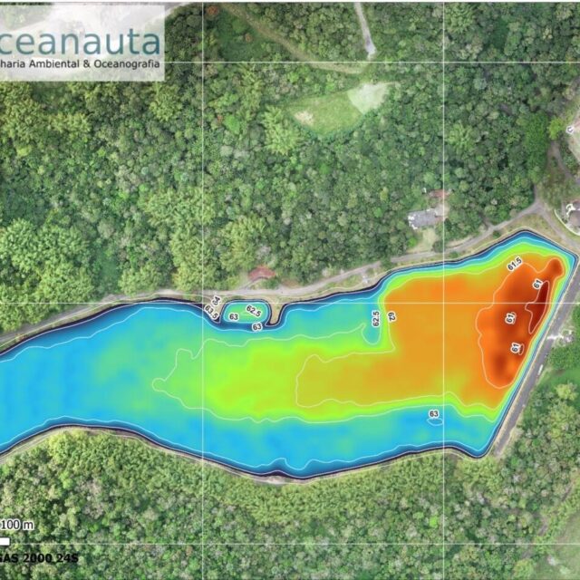
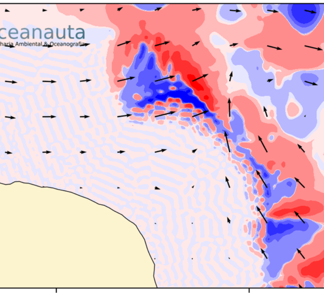
This study aimed to map 13 environmental liabilities (eroded slopes, silted rivers, and interventions) along the BA-099 highway.
The aerial mapping was carried out between June 18 and 28, 2018 using RPA (Remotely Controlled Aircraft) and followed a flight plan so that 200 hectares were covered with a GSD (Ground Sample Distance) of less than 2.5 cm.
Ground control points distributed along the mapped areas were used considering size and complexity of the topography. The control points were used to adjust the georeferencing of the images obtained during the aerial mapping, which had a horizontal precision of less than 4 cm and a vertical precision of less than 8 cm. The control points used were recognizable targets marked on the ground, whose spatial coordinates were determined using a high-precision GNSS – RTK system.
///
Oceanauta
Aerophotogrammetric and topographic survey of 13 environmental liabilities along the Linha Verde highway (BA – 099).


