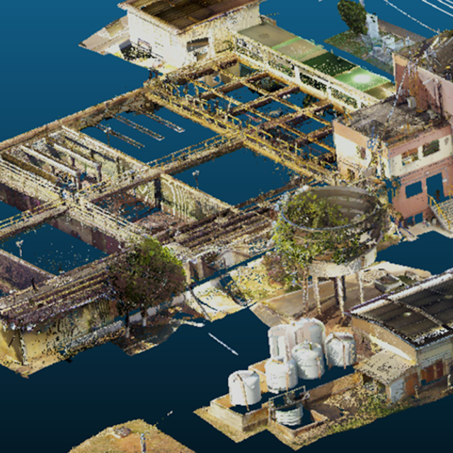
Planimetric survey for registry purposes of 4,537.86 m² of a water treatment plant located in Aracaju, Sergipe.
The survey was carried out using laser scanner, aerial mapping with a drone, and conventional topography, covering an area of 36,000 m², for the registry of the hydraulic network in the water treatment plant’s terrain planimetry.
///
Oceanauta
3D registry with a laser scanner to build a BIM model of a water treatment plant


