Topographic mapping of several areas of an industrial plant using a GNSS-RTK system and Remotely Controlled Aircraft (drone).
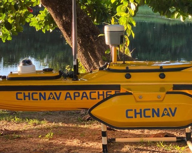
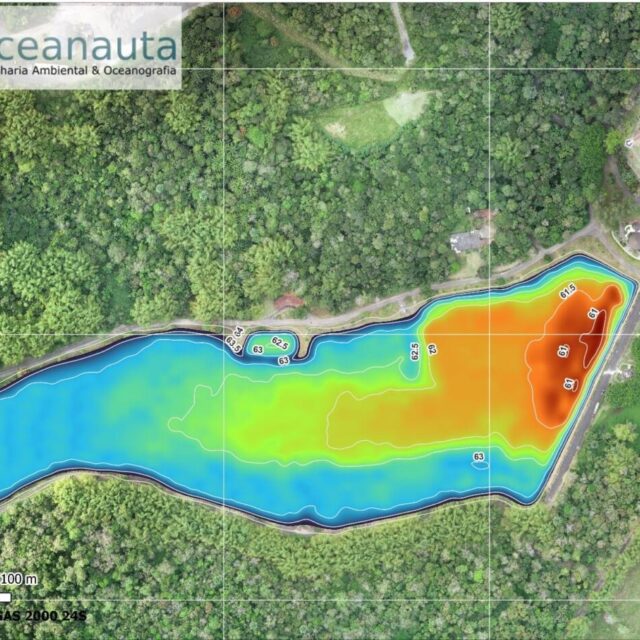
A bathymetric survey was also carried out in two reservoirs, using a remote hydrographic survey system.
With the integration of the data, the volumes of the surfaces and an estimate of the filling of an industrial tailings dam were calculated.
///
Oceanauta
Topobathymetric mapping and volume calculation of an industrial plant for Dow Chemical Company


