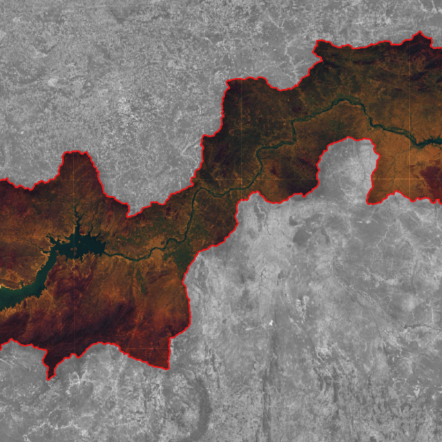
The study aimed to investigate the evolution of the loss and gain of vegetation cover along the banks of the sub-medium stretch of the São Francisco River between the years of 2013 and 2019.
A specific methodology was developed for this study, using remote sensing techniques with satellite images and computational geoprocessing technologies.
To determine areas with vegetation, the Enhanced Vegetation Index (EVI) was used, which is a ratio of the spectral composition of the bands of the mosaics obtained.
///
Oceanauta
Loss and gain evaluation of vegetation cover through remote sensing


