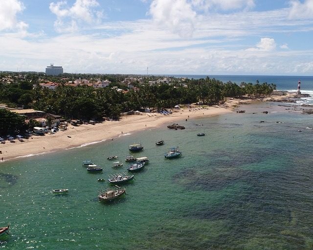
Elaboration of geodesic mapping of the average high tide line of 1831 (LPM/1831), with the objective of demarcating Federal Marine Lands and the public area occupied by a hotel, installed on Itapuã beach. The aim was to verify the positioning of the installed infrastructure in accordance with the legal limits of Federal Marine Lands.
///
Oceanauta
Geodesic mapping of the 1831 average high tide line in Itapuã, Salvador-BA


