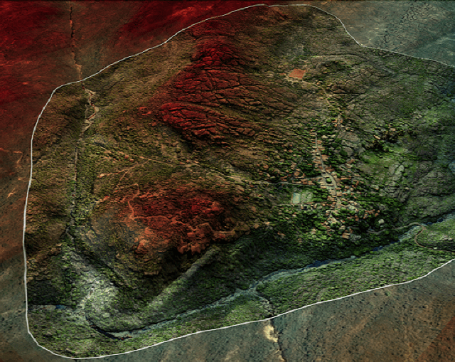
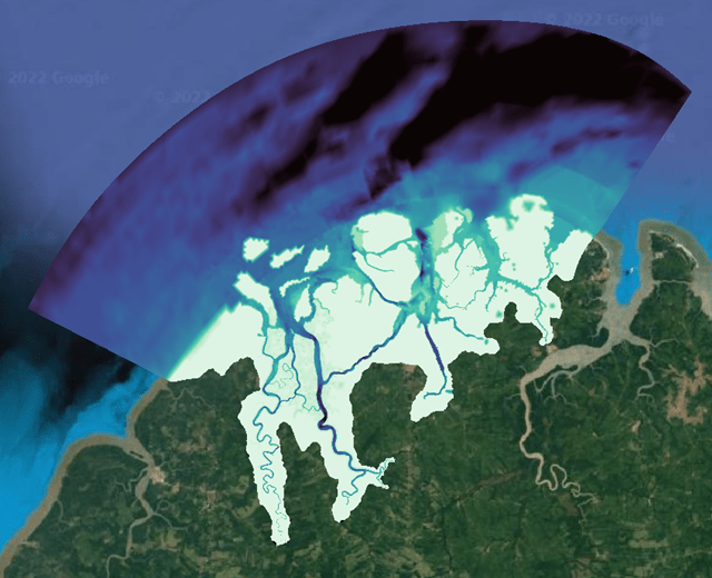
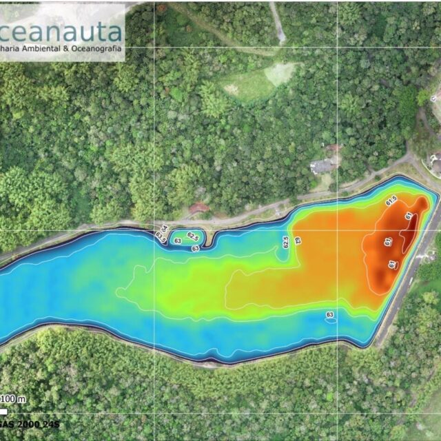
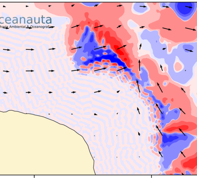
Acquisition of aerial images using RPA (Drone) and survey of topographic data (GNSS-RTK System).
Products:
High resolution photographic orthomosaic;
Digital Surface Model (DSM);
Digital terrain model (DTM);
Isolines from meter to meter.
///
Oceanauta
Planimetric topographic survey in the district of Igatu – Andaraí/BA


