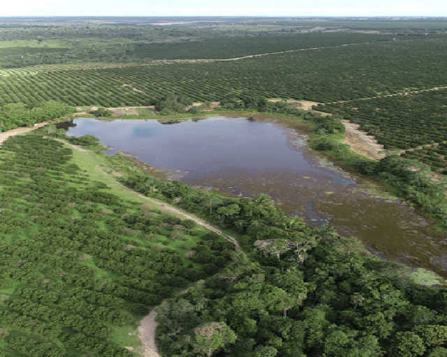
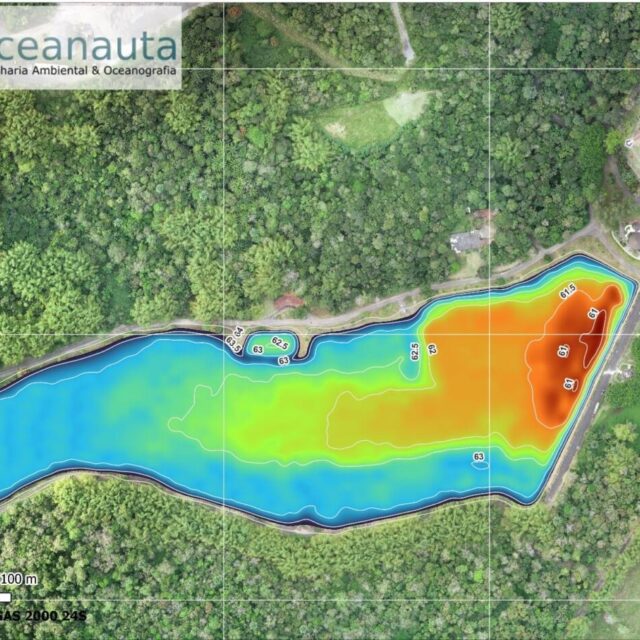
Bathymetric survey in a reservoir to calculate the volume of water available for irrigation.
Use of an echo sounder coupled to a small vessel to obtain the bathymetric quotas of navigable areas and RPA (drone) with GNSS-PPK System (post-processed kinematic) to generate orthophotos and delimitation of the current level of the reservoir.
///
Oceanauta
Bathymetric survey in a reservoir of a rural property – Esplanada/Ba


