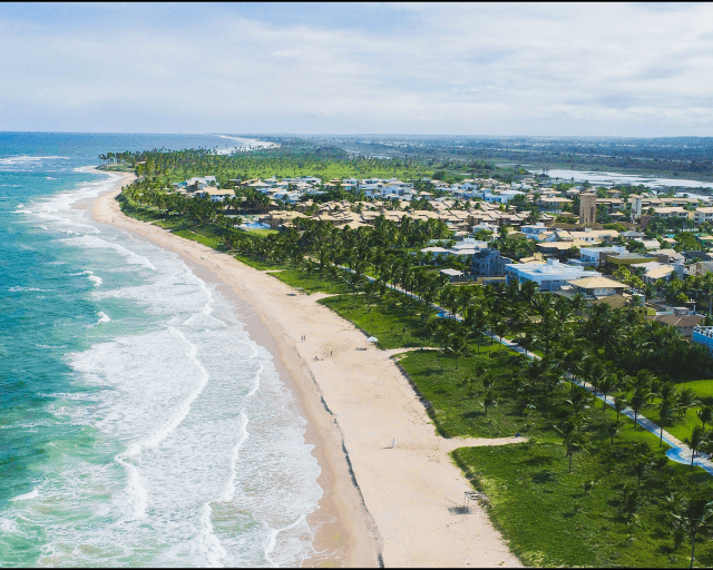
Elaboration of geodesic mapping of the average high tide line of 1831, or LPM/1831, with the objective of demarcating Federal Marine Lands and regularizing the boardwalk and bicycle lane infrastructure, installed on Guarajuba beach.
The work took into account the criteria required in the notification presented by the Federal Public Ministry, aiming to verify the positioning of the installed infrastructure in accordance with the legal limits of Federal Marine Lands.
///
Oceanauta
Geodesic mapping of the 1831 average high tide line, with the objective of demarcating the marine lands and their additions, Guarajuba – Ba.


