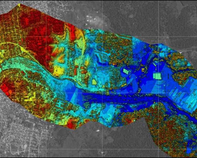
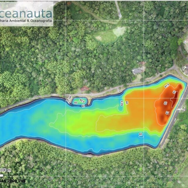
This study aimed to carry out a topobathymetric mapping of a stretch of the Cachoeira River, located between the municipalities of Itabuna and Itapé – BA.
Mapping took place over two phases, the first being the survey of 50 topobathymetric cross-sections of the Cachoeira River using a high-precision GNSS-RTK system and an echo sounder.
The second phase consisted of the acquisition of aerial images, using RPA (Remotely Controlled Aircraft) for digital terrain mapping and aerial photogrammetry, in order to obtain a high resolution photographic orthomosaic and a digital terrain elevation model (DTM).
The total area mapped was about 5,500 hectares along a 40 km stretch of the river, reaching a horizontal accuracy of 5 cm and a vertical accuracy of 15 cm.
///
Oceanauta
Aerial and bathymetric survey in a stretch of the Cachoeira River between the municipalities of Itabuna and Itapé – BA


